June 27, 2016/in Environmental Services /by jeng
Whether you’re a commercial developer looking to expand your business or an individual hoping to build your dream house, one thing is certain: you’re going to need a site & soil evaluation before you build.
While most people have heard of site & soil evaluations, many don’t know what they are or why they’re important. To help you understand the importance of this vital step, we’re going to walk you through the nitty gritty of this key environmental service.
What is a Site & Soil Evaluation?
The quality of soil on a given site can vary greatly, and these variations will affect how the site can be used and what amendments, if any, must be made. A site & soil Evaluation is one of the first steps toward obtaining any permits, which is why they so important at the beginning of a project.
What Do Site & Soil Evaluations Review?
There are seven site and soil properties we evaluate before any project can begin. These properties are:
- Soil texture (the amount of sand silt and clay in the soil)
- Permeability (the rate at which water enters and passes through the soil)
- Depth of soil to bedrock
- Slope (the steepness and length of the slope specifically)
- Shrink-swell of the soil (this involves changes in volume based on the wetness of soil)
- Water table (the depth at which water occurs in the soil both seasonally and permanently)
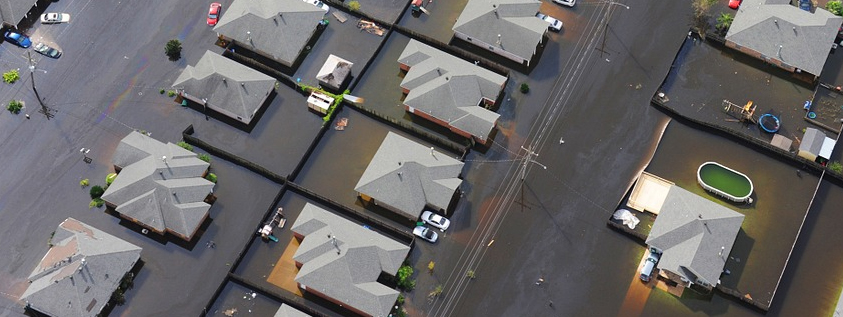
- Flood hazards (the frequency that the site is inundated by flooding)
If you are interested in evaluation of the following two site and soil properties, please contact Applied Resource Management for further information:
- Erosion hazard (the amount of topsoil currently on the site, and the potential for future loss)
- Surface runoff (the rate at which water flows off the site, based on slope, permeability, and texture)
Each of these properties will have a huge impact on your project, and knowing where you stand on these issues can help you plan and budget accordingly.
What is the Process Like?
At Applied Resource Management, we begin site & soil evaluations by conducting a preliminary review to determine options and potentially followed by a soils mapping valuation of the entire subject property, leaving no stone unturned. This includes initial soils evaluations, mapping and design recommendations for wastewater disposal areas, and soils maps sealed by a North Carolina Licensed Soil Scientist. An anticipated but approximate long term acceptance rate (LTAR) in gallons per day for drip field design and coordination with design/planning team for maximizing site development is included. For some properties, a lot layout evaluation is an option. The time it takes to complete the evaluation depends on the depth, location, and availability of an approvable soil formation.
How Can ARM Help?
Applied Resource Management’s Soils Division at Applied Resource Management is staffed with highly experienced and well-trained individuals, who focus on facilitating residential and commercial property transfers and transactions. Working with our soil scientists is a crucial step that will give you an accurate understanding of your property and any issues it may have, expert advice on regulatory requirements, a detailed view of the project impacts, and required documentation for and help securing necessary permits.
If you’re about to embark on a development project, your first step should be to contact Applied Resource Management. We’ll make sure you get off on the right foot and that your project is successful from beginning to end.